Sharing my research with the wider geospatial and scientific community has been a rewarding part of my journey. Here’s a selection of conferences where I’ve presented original work related to geospatial analytics, UAV photogrammetry, and open-source applications.
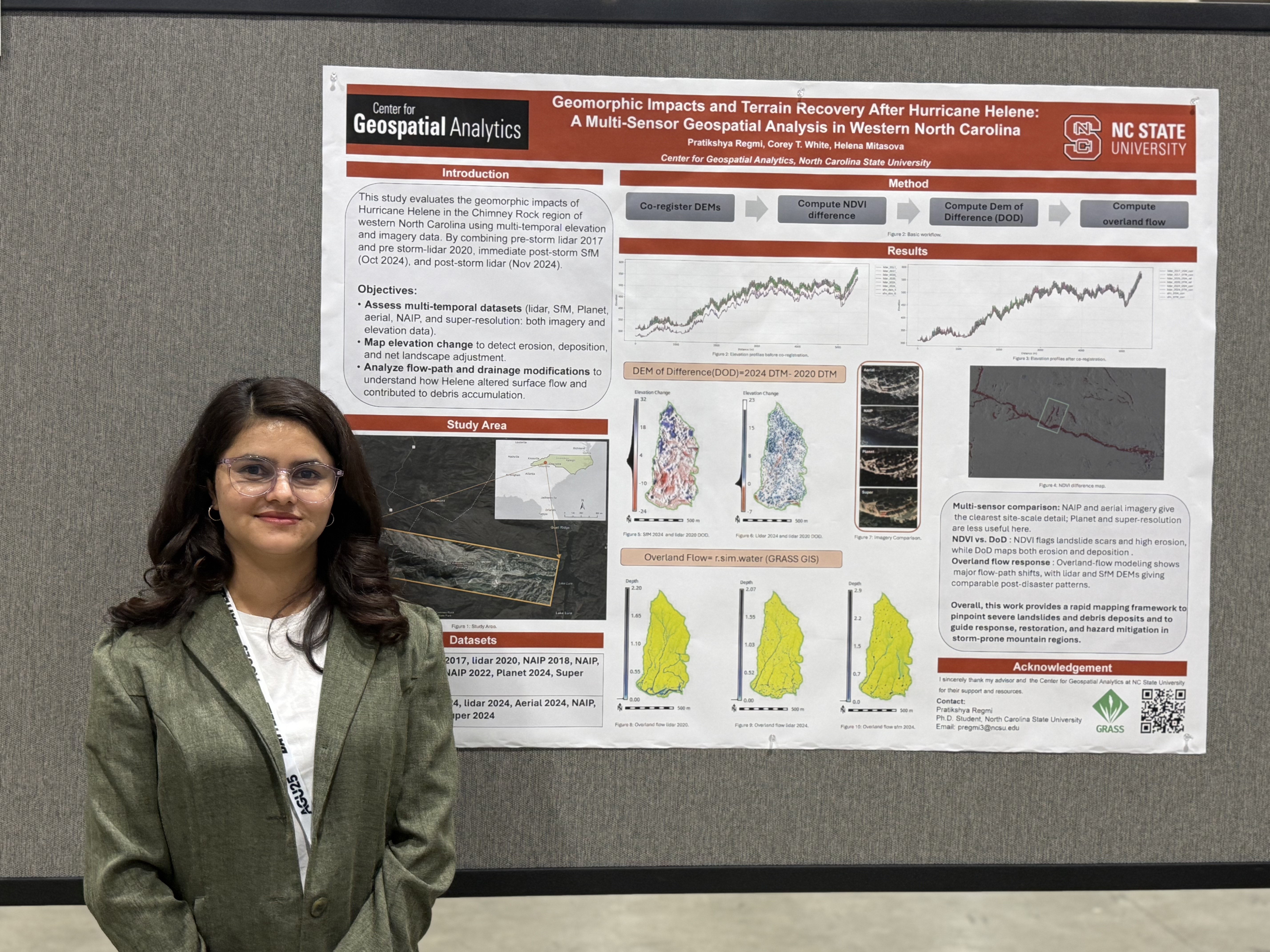
AGU 2025
Location: New Orleans, Louisiana, United States
Topic: Geomorphic Impacts and Terrain Recovery After Hurricane Helene: A Multi-Sensor Geospatial Analysis in Western North Carolina
Presented a short-term geomorphic impact study of Hurricane Helene in Chimney Rock, NC using multi-temporal LiDAR (2017, Nov 2024) and immediate post-storm SfM point clouds (Oct 2024). Mapped elevation change, debris accumulation, drainage modification, and infrastructure disruption to support hazard mitigation and infrastructure planning in storm-prone mountain regions.
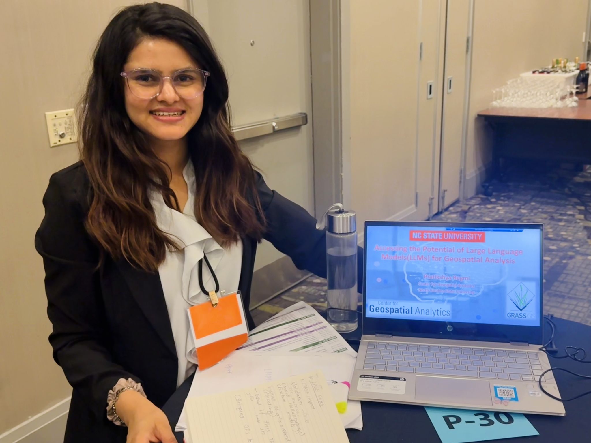
IALE North America 2025
Location: Raleigh, North Carolina, United States
Topic: Accessing the Potential of Large Language Models (LLMs) for Geospatial Analysis
Delivered a digital visualization showcase on using open-source LLMs integrated with GRASS GIS for geospatial terrain modeling and intelligent geospatial analysis.
AGU Annual Meeting 2024
Location: Washington, D.C., United States
Topic: Visibility Analysis for Safe UAS Operation
Presented novel visibility analysis techniques for safe and efficient UAS flight planning in complex terrain using LiDAR-based modeling.
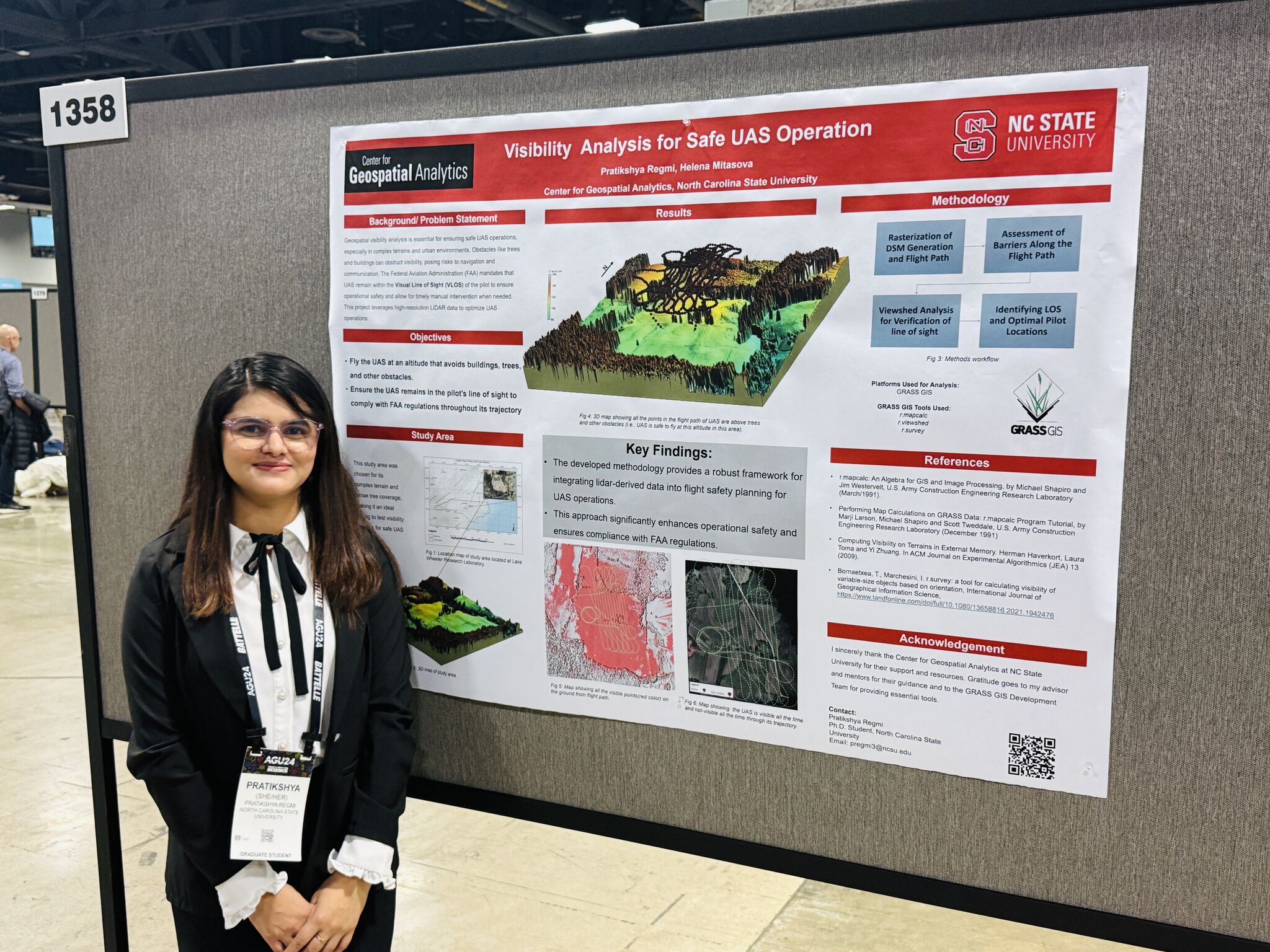
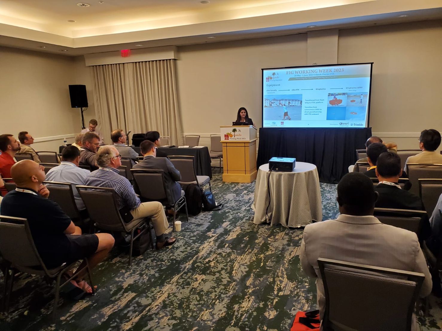
FIG Working Week 2023
Location: Orlando, Florida, United States
Topic: Overview of the UAS Campus Survey Project at Texas A&M University-Corpus Christi
Discussed the development and findings from a large-scale UAS-based campus mapping initiative, with applications for campus planning and geospatial education.
ASPRS Annual Conference 2022
Location: Denver, Colorado, United States
Topic: A Historical Perspective of UAS Monitoring for Campus Facilities and Geo-informatics
Got student grant award, this talk explored the progression of UAS adoption and geospatial workflows for institutional facility monitoring at TAMUCC.
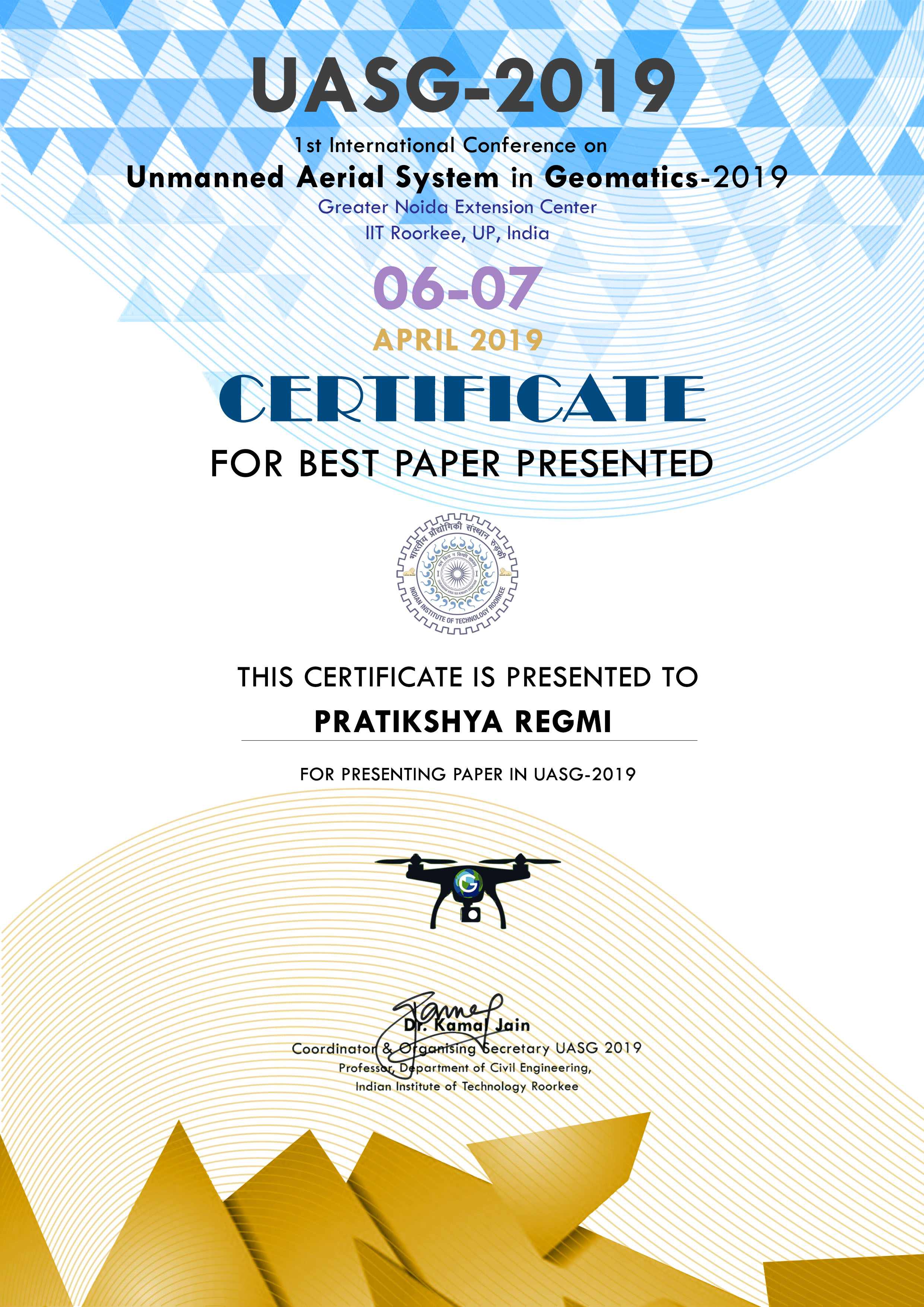
UASG-2019 Conference
Location: IIT Roorkee, India
Topic: Analyzing the Effect of Distribution Pattern and Number of GCPs on Overall Accuracy of UAV Photogrammetric Results
Received best paper award for presenting a methodological evaluation of GCP distribution patterns and their effect on UAV-based mapping accuracy.