Welcome to GeoGiggles — where coordinates meet comedy, rasters roast vectors, and geospatial data science takes a coffee break!
This is the lighter side of the geospatial world — a curated collection of memes, jokes, and visual humor born from sleepless nights debugging shapefiles, fighting projections, or writing for loops in Python while wondering why your raster is still blank.
🗺️ Laughs from the Lab and Field
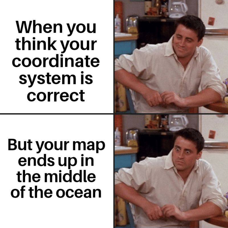
“I have trust issues because of... projection distortions.”
“Buffer zone? More like personal space boundary!”
“Buffer zone? More like personal space boundary!”